The Town Engineering Department provides engineering and surveying services for a multitude of construction projects, including water lines and water tanks, sewer lines, pump station, bridges and roads. These items are commonly referred to as infrastructure and are critical to the well-being of a community. Much of the Engineering Department's time is spent on designing or recommending improvements to these facilities. The Town's Engineering Department also provides physical inspection of its two dams and the many bridges and box culverts that are a part of the Town's transportation network. Furthermore, the Town Engineering Department handles all Cemetery lot allocations.
Maintaining up to date maps for the Town that include streets, house numbers, water lines, sewer lines and zoning is an important on going function of this department. This has become an automated process where these drawings are stored and continually updated on the Town's computer system using current GIS software. The Engineering Department also uses the latest in software to operate a computer program that simulates actual conditions and effects of proposed changes in the water system.
Coordination between the Town and State agencies such as the Virginia Department of Health, Department of Environmental Quality and the Virginia Department of Transportation is handled through the Town Engineering Department. This helps to provide a safer, more environmentally sound community for Town citizens to live and work.
Flood Rate Insurance Map
GIS Maps
Cemeteries
The Town of Pulaski operates two historic cemeteries, Oakwood and Pinehurst. Oakwood Cemetery, which is 356.4 acres, has 18,200 spaces and Pinehurst, which is 3.3 acres has 1,500 spaces. There are spaces being sold by the Town of Pulaski in the Engineering Department. Related forms can be found at the bottom of this page. The Town of Pulaski also does an annual clean up once a year for any loose objects that consist of flowers or objects that are not located at any specific gravestone or cemetery lot. This is just a friendly reminder that if you have any objects located on headstones or cemetery lots please keep the objects within the area of the lot.
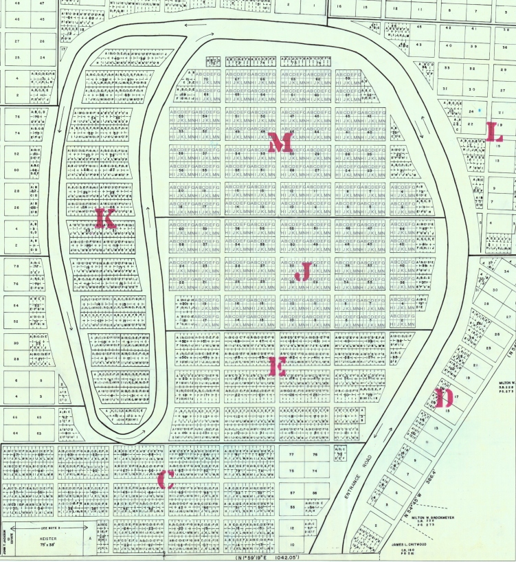
Oakwood East Layout

NOTE: This map is for reference only. The record on it for sold/open plots is not up to date. If interested in spot availability please contact the Engineering Department at (540) 994-8617.
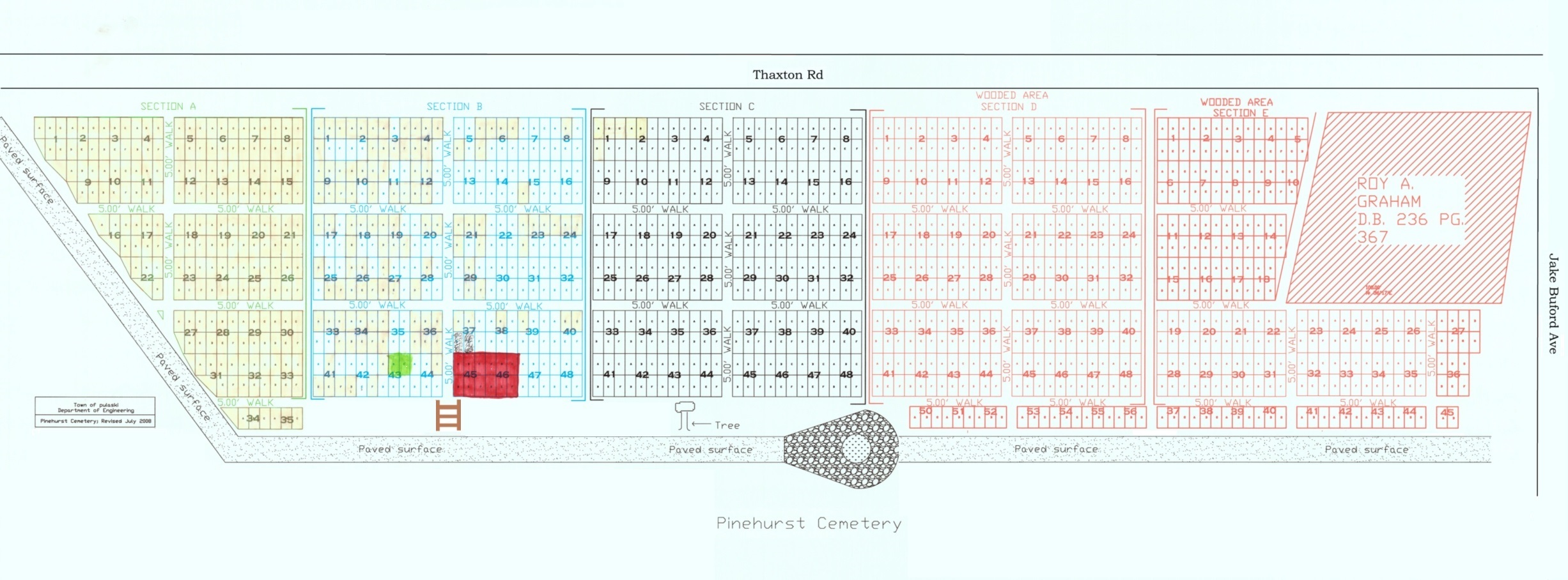
Pinehurst Addition Layout

Downloadable Pinehurst Addition Map
NOTE: This map is for reference only. The record on it for sold/open plots is not up to date. If interested in spot availability please contact the Engineering Department at (540) 994-8617.
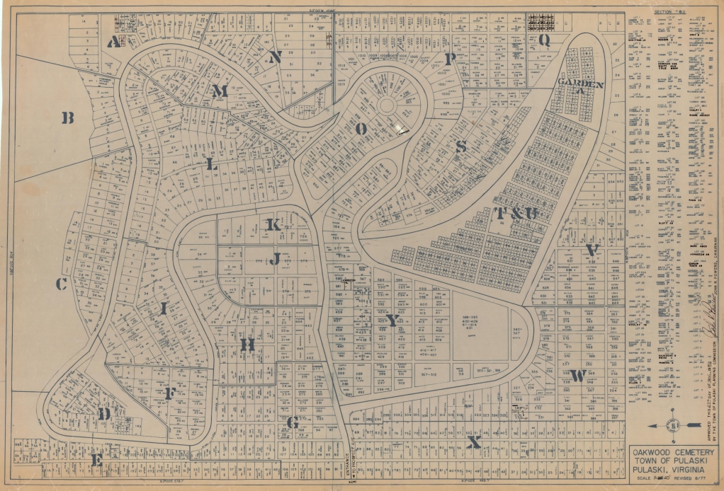
Oakwood Layout

This is a map of the original Oakwood Cemetery before the addition was added (Oakwood East). Plots are no longer being sold in this section. The map can be used for family lot references as they are labeled on the map in each lot. The names for lots in T&U are listed on the right side of this map.